Ebooki
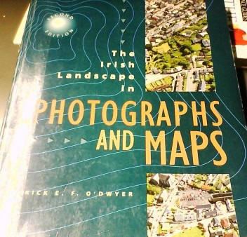
Patrick O’Dwyer – The Irish landscape in photography and maps

The book covers Ordnance Survey maps, physical geography and aerial photographs – three major sections of the course – in a related approach.
It provides an understanding of a range of geographical features from the physical landscape to industrial and transport developments; and from pre-Christian farming to the growth of modern towns.
Student skills are tested by excercises throughout.
Contains background material for field work and exercises.
- Wydawnictwo:
- Gill & Macmillan Ltd.
- data wydania:
- 1994 (data przybliżona)
- ISBN:
- 0-7171-2181-X
- liczba stron:
- 257
- słowa kluczowe:
- geografia fizyczna , Irlandia , mapy , zdjęcia lotnicze , geomorfologia
- kategoria:
- turystyka, mapy, atlasy
- język:
- angielski


